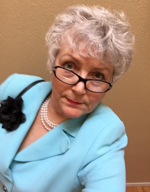
Sally Taylor was born in Los Angeles and for years lived in the beach communities.
She studied art in High School but in college she discovered Cartography, which is both an art and a science. She graduated Magna Cum Laude from California State University with a Bachelor of Arts degree in Geography. During this time, she became both a collector of antique maps and began creating maps in various media besides traditional ink and velum.
Her academic minor in communications provided her work career in Public Relations and administration both in the corporate world and self-employment.
Retirement has allowed time for many new adventures including private art lessons from a professional fine artist.
My first love is cartography - which is both an art and a science.
Today maps are mostly science and digital but historically they were very artistic, if not always accurate. Willem Blaeu, of the Dutch school of cartography, created beautiful works of art in his cartographic Grand Atlas with maps from the 1500 - 1600 era. His works sell for millions of dollars on today’s market.
Some older cartography is quite accurate. Maps of the St. Lawrence Seaway by Captain James Cook were in use until satellite technology began. His maps of the South Pacific were in use until the 1950’s.
Today’s maps are purely functional. Gone are the decorative borders, the compass rose, the fully rigged ships and the ubiquitous sea monster.
My first maps were India ink on velum paper with ships and sea monsters. Later I had mixed results with watercolor on maps. Using a scroll saw I was able to cut maps from metal and wood. A Dremel tool was useful for creating topographical maps from wood. I also made maps of fabric and quilted them.
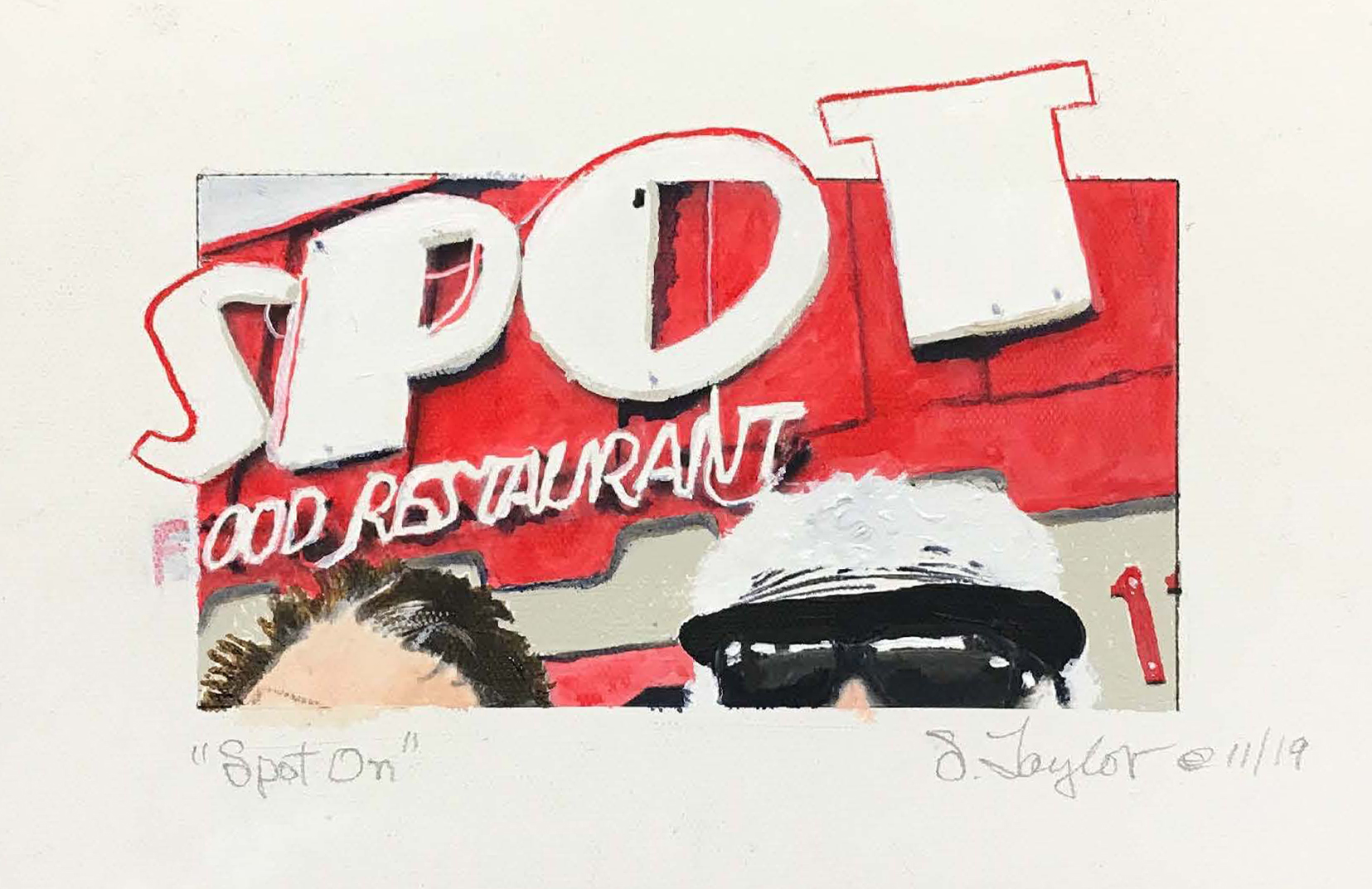
In retirement I began private art lessons and discovered acrylic paint as my new favorite medium. I’ve found many other subjects besides maps and I see that it is all an adventure and cartography is always an option.